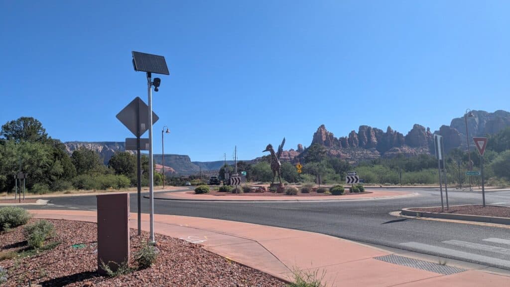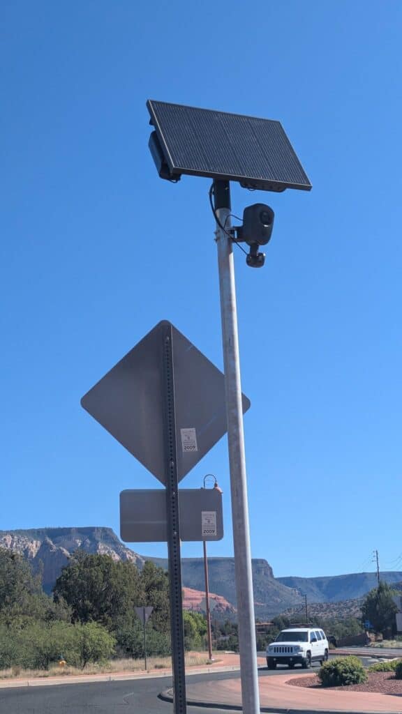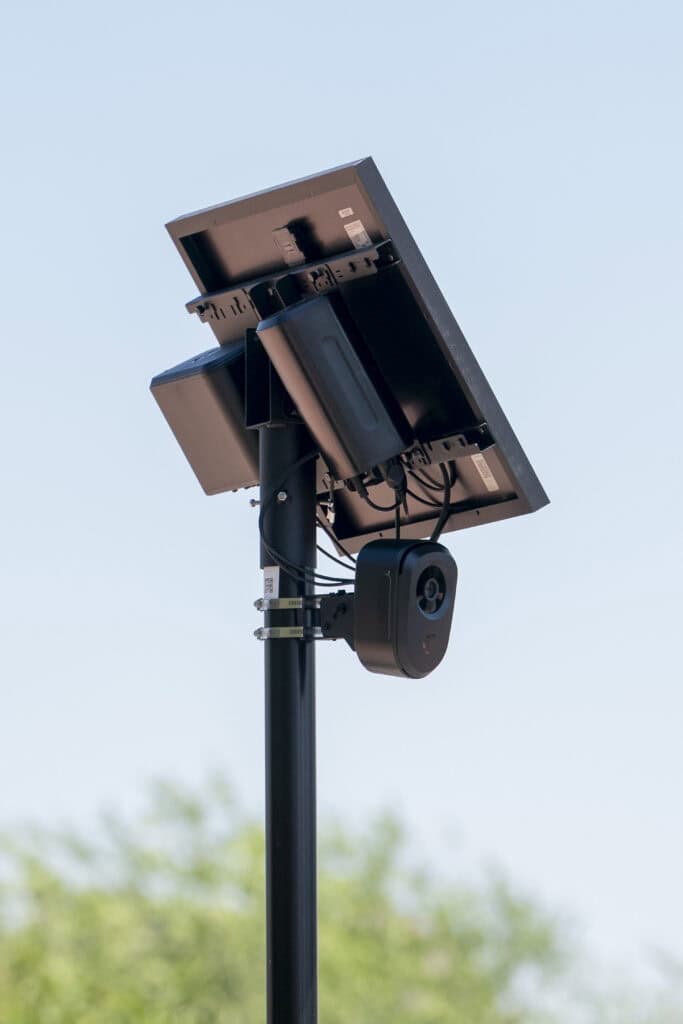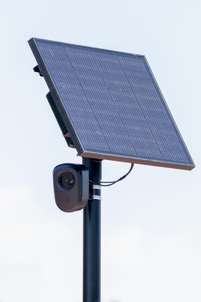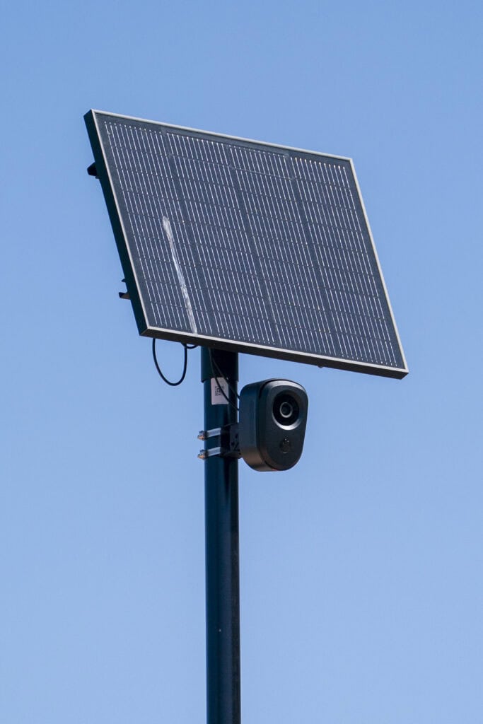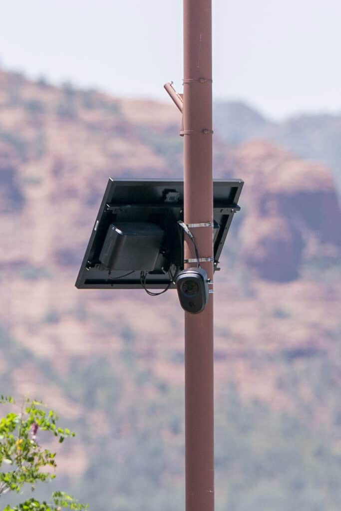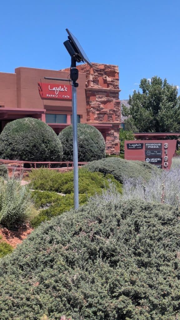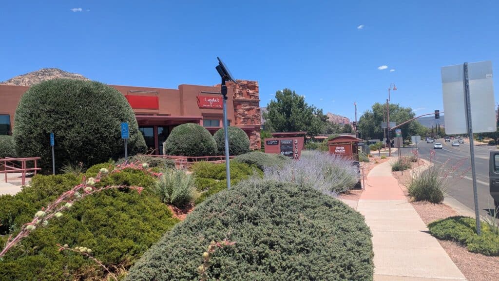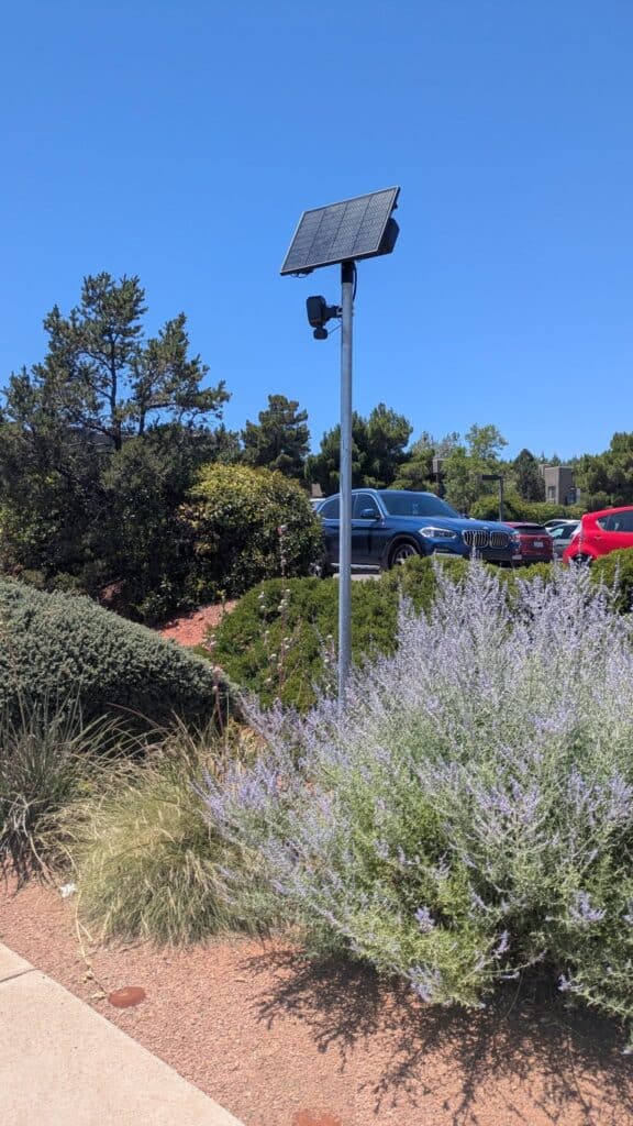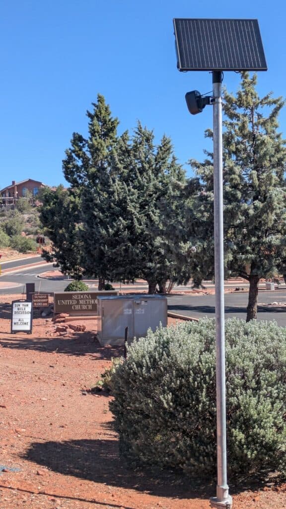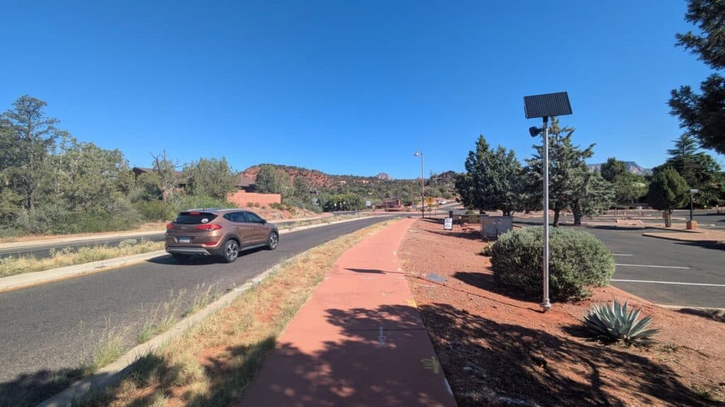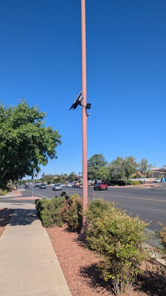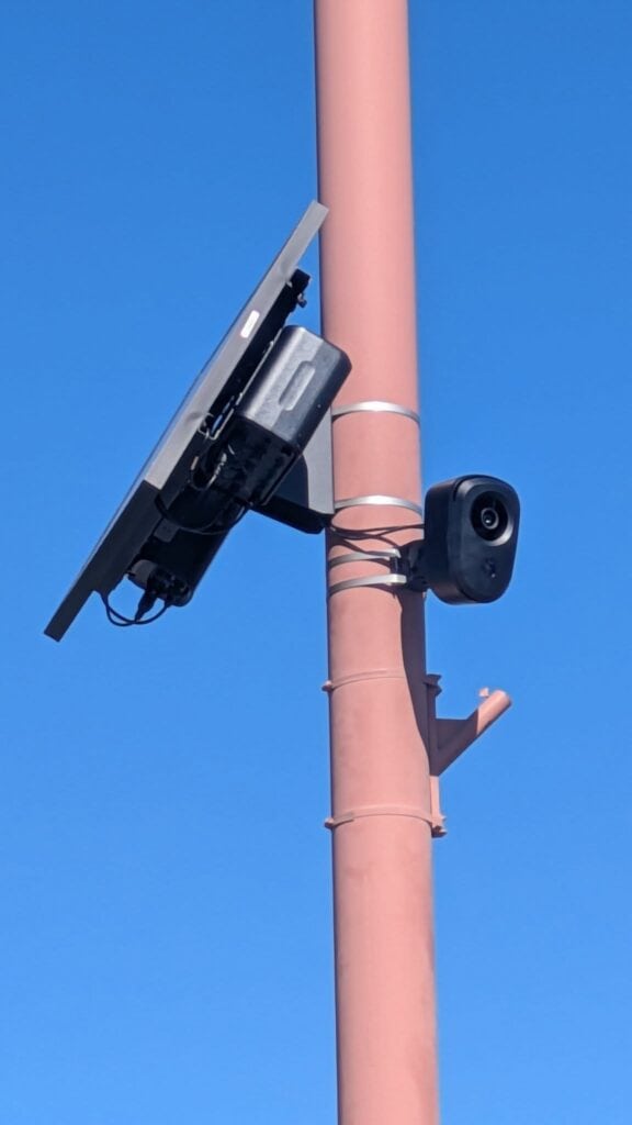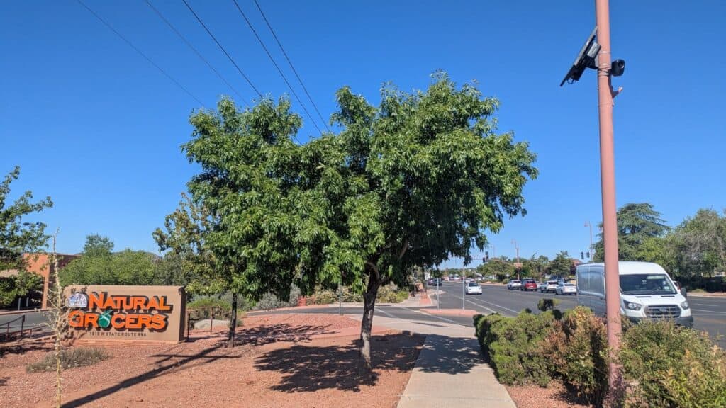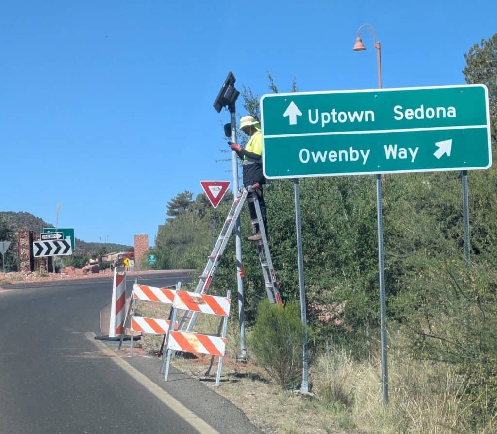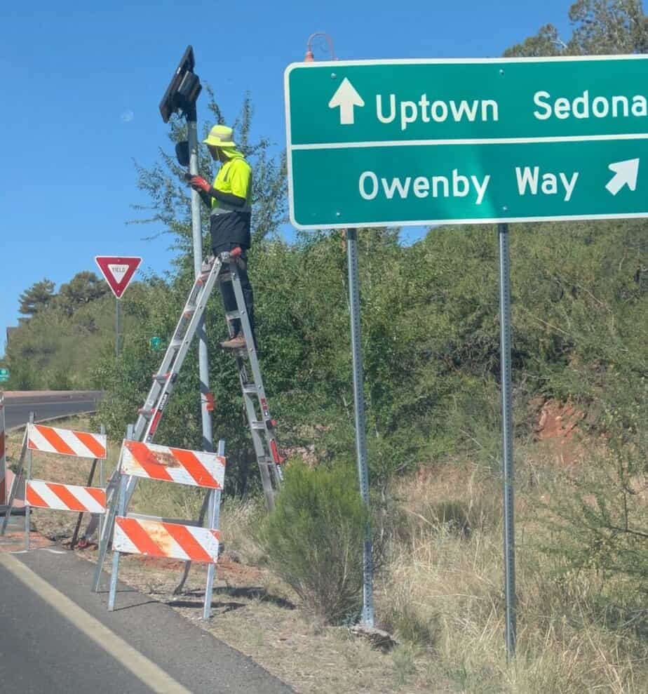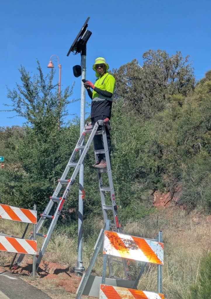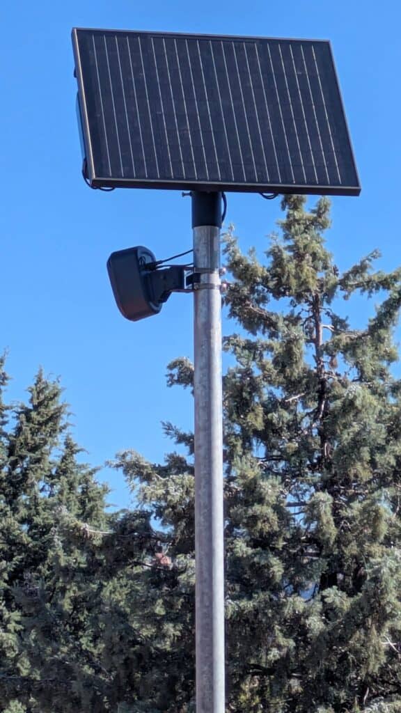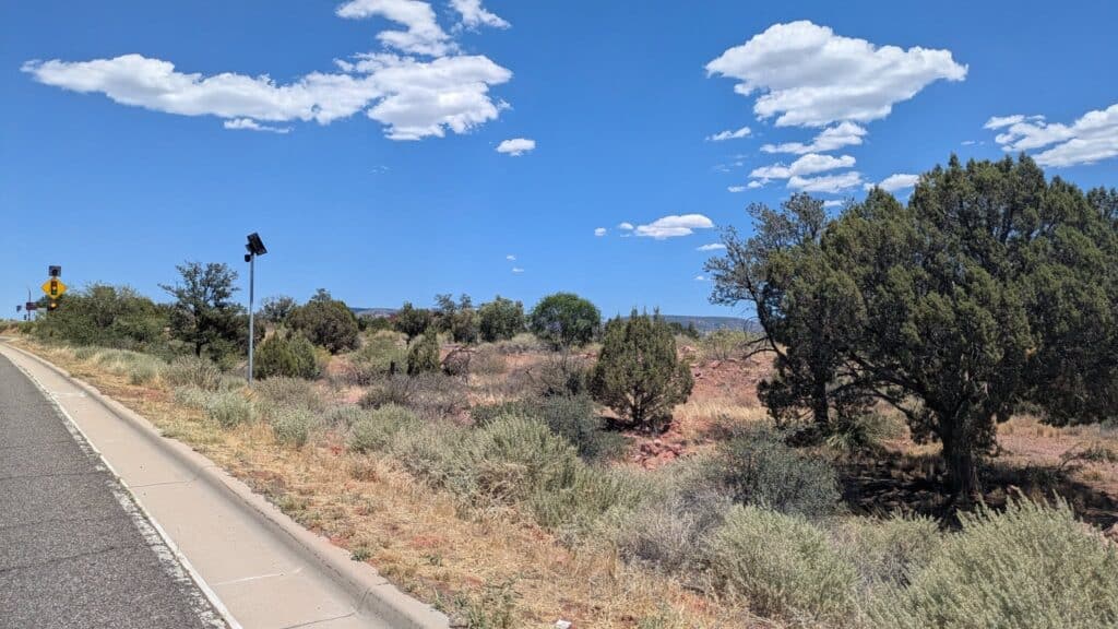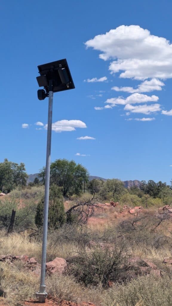














The Sedona City Council will discuss Flock Safety’s automated license plate readers at a work session at 3 p.m. on Wednesday, Aug. 13.
The public will be able to speak to council during the public comment portion of the meeting.
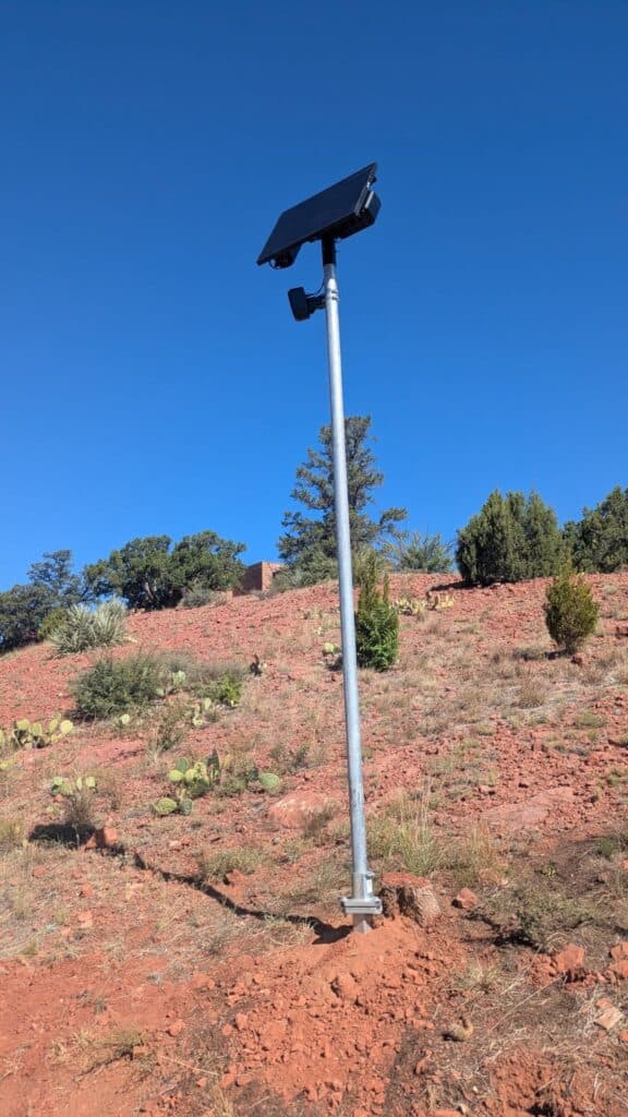
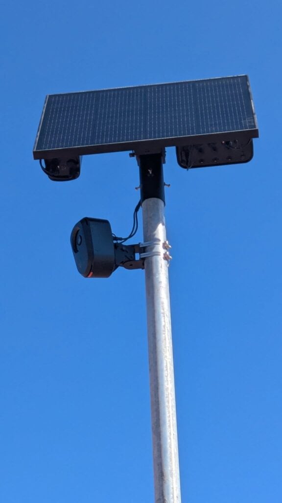
A total of 12 are planned to be installed. The cameras will read the license plates of all vehicles passing through, retain the data of vehicle movements for 30 days, and feed the data into a nationwide mass surveillance database run by Flock Safety, a private corporation headquartered in Atlanta, Ga.
For our previous full story “Sedona to residents: We’re tracking you” on these ALPRs, click here. For our editorial on the camera,
For our editorial “City of Sedona’s spy cameras are a threat to our privacy and rights,” click here.
Concerns about the city of Sedona’s installation of 12 automatic license plate readers throughout the city has caught the attention of Judicial Watch, a nationwide conservative nonpartisan nonprofit that files Freedom of Information Act and public records lawsuits to investigate claims of misconduct by governments and officials. For that story: “Watchdog eyes Sedona’s ALPR cameras,” click here.
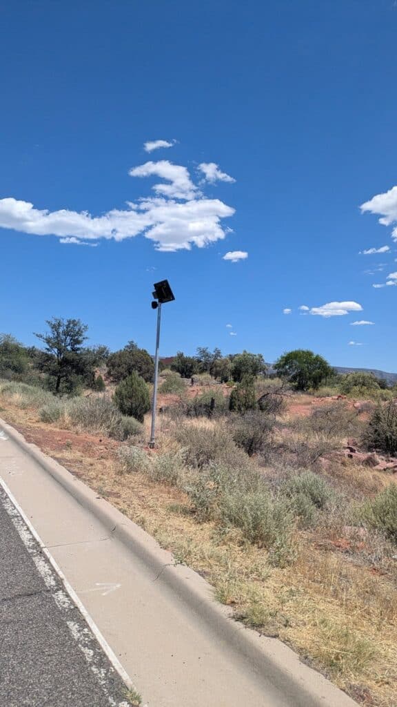
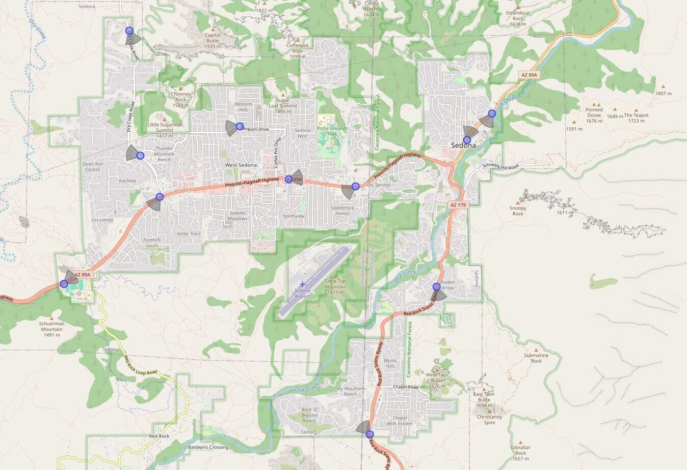
Thanks to our astute, eagle-eyed readers, we have located 11 of the city of Sedona’s 12 cameras that are currently installed. Automated license plate readers are mapped at DeFlock.me.
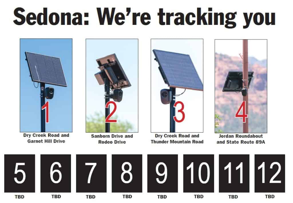
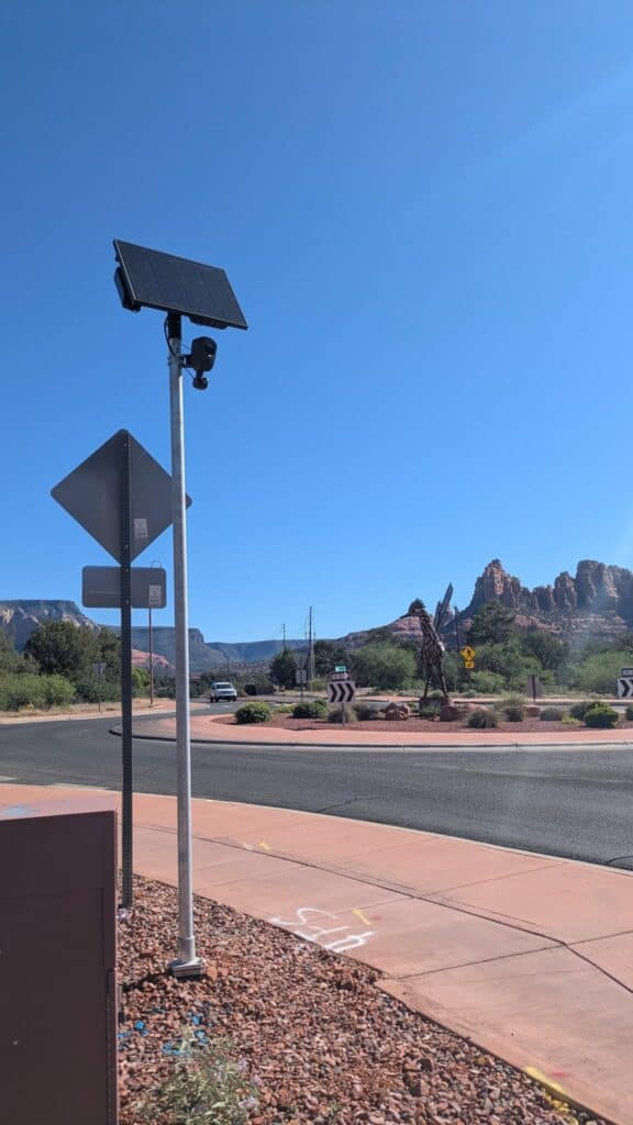
The city of Sedona has not publicly announced the locations so our readers have had to help us located them over the last two months. The 11 currently installed cameras:
■ Dry Creek Road and Garnet Hill Drive
■ Dry Creek Road and Thunder Mountain Road
■ Sanborn Drive and Rodeo Drive
■ Jordan roundabout on State Route 89A
■ One on State Route 179 at Arrow Drive facing southbound traffic
■ One on State Route 179 entering Sedona near the Sedona United Methodist Church, facing northbound traffic entering from the Village of Oak Creek
■ One on State Route 89A just west of Dry Creek Road and bus stop (south of the old Cinedona building), facing westbound traffic
■ One on State Route 89A east of Upper Red Rock Loop Road, north of Sedona Red Rock High School, facing eastbound traffic coming from Cottonwood and Cornville
■ One north of Owenby Way entering Sedona from Oak Creek Canyon with the reader facing southbound traffic.
■ One just west of N. Airport Road, with the reader facing westbound traffic
■ One immediately north of Natural Grocers with the reader facing eastbound traffic.
A reported 12tg automated license plate reader at Grasshopper Point, 0.6 miles outside Sedona city limits, facing northbound traffic, was installed by the Coconino County Sheriff’s Office, not the city of Sedona, as we reported on Facebook on Aug. 8. It is outside Sedona jurisdiction on Arizona Department of Transportation right of way, adjacent to Coconino National Forest property.
“I saw a FB post that the 12th Sedona camera was identified to be at Grasshopper Point. This is to let you know that we have not installed a 12th camera yet. The one at Grasshopper Point belongs to the Coconino County Sheriff’s Office,” Sedona City Manager Anette Spickard wrote in an email in the afternoon of Monday, Aug. 11. We apologize for the confusion.