

A flood watch remains in effect through the evening of Thursday, Oct. 22, for all of Northern and central Arizona, according to the National Weather Service in Flagstaff.
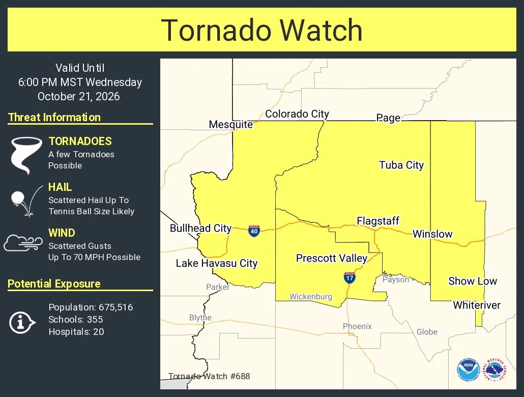
A tornado watch has been issued for parts of Arizona until 6 p.m. Wednesday, Oct. 21.
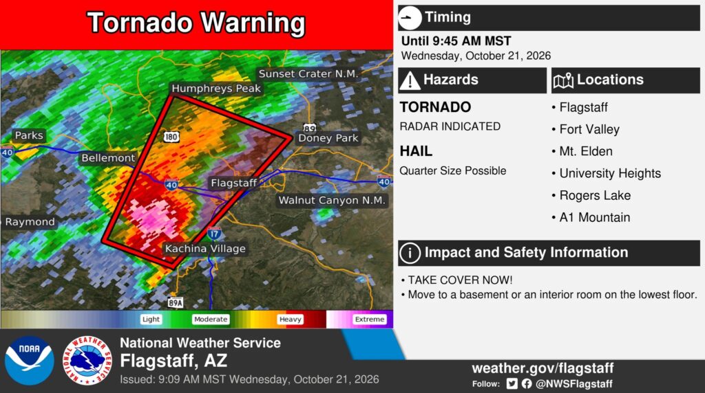
A tornado warning was previously issued from Flagstaff to Bellemont.


The watch area includes Sedona, the Village of Oak Creek, Cottonwood, Camp Verde, Jerome and Clarkdale, as well as Strawberry, Prescott, Flagstaff, Ash Fork, Bagdad, Canyon De Chelly, Chambers, Chinle, Cordes Junction, Crown King, Dilkon, Forest Lakes, Fort Defiance, Fredonia, Ganado, Grand Canyon North Rim, Grand Canyon Village, Greer, Happy Jack, Heber, Holbrook, Jacob Lake, Jadito, Kaibito, Kayenta, Keams Canyon, Klagetoh, Kykotsmovi, Lees Ferry, Munds Park, Navajo National Monument, Page, Payson, Pinetop-Lakeside, Sanders, Seligman, Shonto, Show Low, Snowflake, Springerville, St. Johns, Steamboat Canyon, Supai, Tuba City, Tusayan, Valle, Wide Ruins, Williams, Window Rock, Wupatki National Monument and Young.
Flash flooding caused by excessive rainfall is possible in creeks, normally dry washes, swimming holes and over recently burned areas. Low-water crossings may be flooded.
An upper-level trough will bring a deep surge of subtropical and tropical moisture into the region. Showers and thunderstorms will develop across much of Northern and central Arizona early Wednesday morning, Oct. 21, and continue through Thursday evening. Stronger thunderstorms will bring threats of flash flooding, while more prolonged rainfall could lead to elevated flow in streams, rivers and washes.
Residents should have a way to receive flash flood warnings and be prepared to take action should warnings be issued. Additional information is available at weather.gov/flagstaff.