Forest Service believes ‘holdover’ wildfire smoldered after lightning
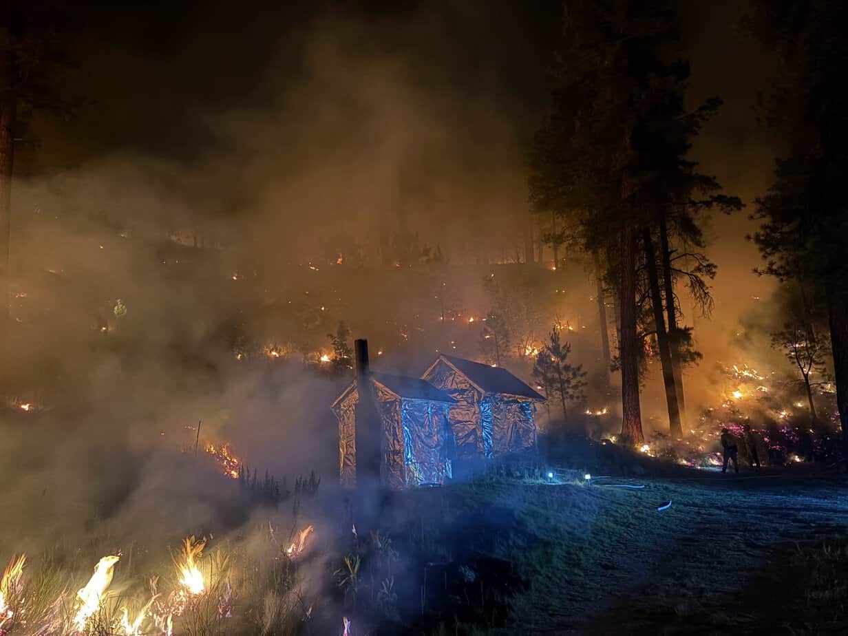
The Pocket Fire is 100% contained, the U.S. Forest Service announced on the morning of Thursday, July 30, after an estimated cost of $64.1 million in suppression efforts.
The fire was reported on June 19 by the East Pocket Lookout at 5:01 p.m., and proceeded to burn 27,393 acres before it was 95% contained on July 14. A monsoon storm arrived on July 16.
“The cause is still officially undetermined but it is largely believed to be lightning-caused due to the time, location — lightning in that area — and lack of other evidence that would point to something otherwise,” Coconino National Forest spokesman Brady Smith wrote.
The skies over the fire were clear at least as of 30 minutes after the initial report.
“But keep in mind that wildfires don’t necessarily start and grow on the same day the lightning strikes,” Smith wrote. “These can be what we call ‘holdovers,’ which means lightning may have started it days prior and it just smoldered and hibernated before other conditions cultivated it to start to grow quickly. I can’t say that this was definitely the case with the Pocket Fire, but it’s something to be aware of. We end up chasing many small lightning-caused wildfires that were ignited days prior but didn’t indicate till later — especially during monsoon.”
While the areas closed by the fire have been significantly reduced, areas remain closed through Sunday, Sept. 30, unless the current Forest Order is rescinded: Banjo Bill Picnic Site, Bear Sign Trail No. 59, Bootlegger Picnic Site, Call of the Canyon, David Miller Trail No. 164, Dry Creek Trail No. 52, Encinoso Picnic Site, Grasshopper Point Picnic Site, Halfway Picnic Site, HS Canyon Trail No. 50, Manzanita Campground, Oak Creek beginning where the West Fork drainage meets the creek and continuing south to where it exits national forest land — within 100 feet of each side of the creek — Secret Canyon Trail No. 121 and West Fork Trail No. 108. This encompasses the entirety of the West Fork drainage from Forest Road 231, within 100 feet of each side of the drainage.
The swimming area at Slide Rock State Park will remain closed through the end of September, because of the risk of flash flooding and water quality concerns, Arizona State Park officials announced last week.
“As one of Arizona’s favorite swimming spots and a destination for nearly half a million visitors each year, we regret not being able to have swimming access at Slide Rock State Park for our visitors until this fall. However, public safety comes first and the Pocket Fire aftermath in combination with monsoon season presents risks to swimmers that we can’t otherwise mitigate,” Arizona State Parks and Trails Executive Director Bob Broscheid said.
The city of Sedona announced that Sedona Shuttle Trailhead service has resumed operations on Route 11 for Dry Creek Vista/Mescal trails and Route 14 to Soldier Pass Trail.
Coconino County’s application for an Economic Injury Disaster Loan through the U.S. Small Business Administration is still awaiting Democratic Gov. Katie Hobbs’ signature, according to Greater Sedona Chamber of Commerce & Tourism Bureau President and CEO David Key.
Once signed, Key said SBA representatives should be on the ground within 72 hours, with an office set up at the chamber office so business owners can meet with them directly about the loan fund — though Key estimated that will be several weeks yet.
“We’re just grateful to see trails opening up again, and so on VisitSedona.com we’re just making sure we share the most up to date and accurate information,” Key said.